Visualizing Sea Level Rise Impacts for Transportation Planning
VISUALIZING SEA LEVEL RISE IN WEST PALM BEACH
How can virtual reality help us understand climate impacts and nature-based solutions? As communities face the challenges of storm surge and sea level rise, Florida Atlantic University is providing innovative tools to support residents and decision makers in finding better solutions. Watch the trailer below | Learn more and watch the full video at www.futureflooding.com
Waikiki, Hawaii
 Transportation planners in coastal communities are increasingly considering future hazards and risks of sea-level rise (SLR), which are communicated in public meetings via PowerPoint presentations with charts as well as two-dimensional (2D) maps that visualize information using Geographic Information Systems (GIS) technologies. This research explores which immersive technologies (ie. augmented reality and virtual reality) can be deployed in the public to engage with community members regarding long-range transportation planning considerations. Read report.
Fort Lauderdale, Florida
 Local leaders have historically communicated sea-level rise to communities by presenting two-dimensional maps, charts and photos; however, three-dimensional, immersive technologies offer new ways to convey complex concepts related to urban planning. Using a quasi-experimental design, the FAU team measured the degree to which virtual reality (VR) technologies improve (or impede) constituents’ absorption of information regarding sea-level rise risks in their communities. The project has the potential to significantly impact how sea-level rise risk information is communicated to the public in coastal areas such as Fort Lauderdale, Florida and elsewhere. Read the report
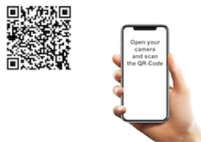 Experience the app:
Scan the QR code with your phone camera and tap the notification.
When the app webpage opens, swipe right or left to view current conditions.
Tap the location icon to view projected SLR in the year 2100.

|
CUES CONTACT:
Dr. John L. Renne |
IIT CONTACT:
|
South Florida and Sea Level Rise Report
Research | Florida Atlantic University
Research South Florida and Sea Level Rise Report. Protecting South Florida: A Discussion of Sea Level Rise, Property and Regional Planning, aims to help local governments protect the region’s real property, valued at more than $833 billion. In addition, the South Florida region, comprised of Monroe, Miami-Dade, Broward and Palm Beach, generates more than $337 billion in personal income annually.
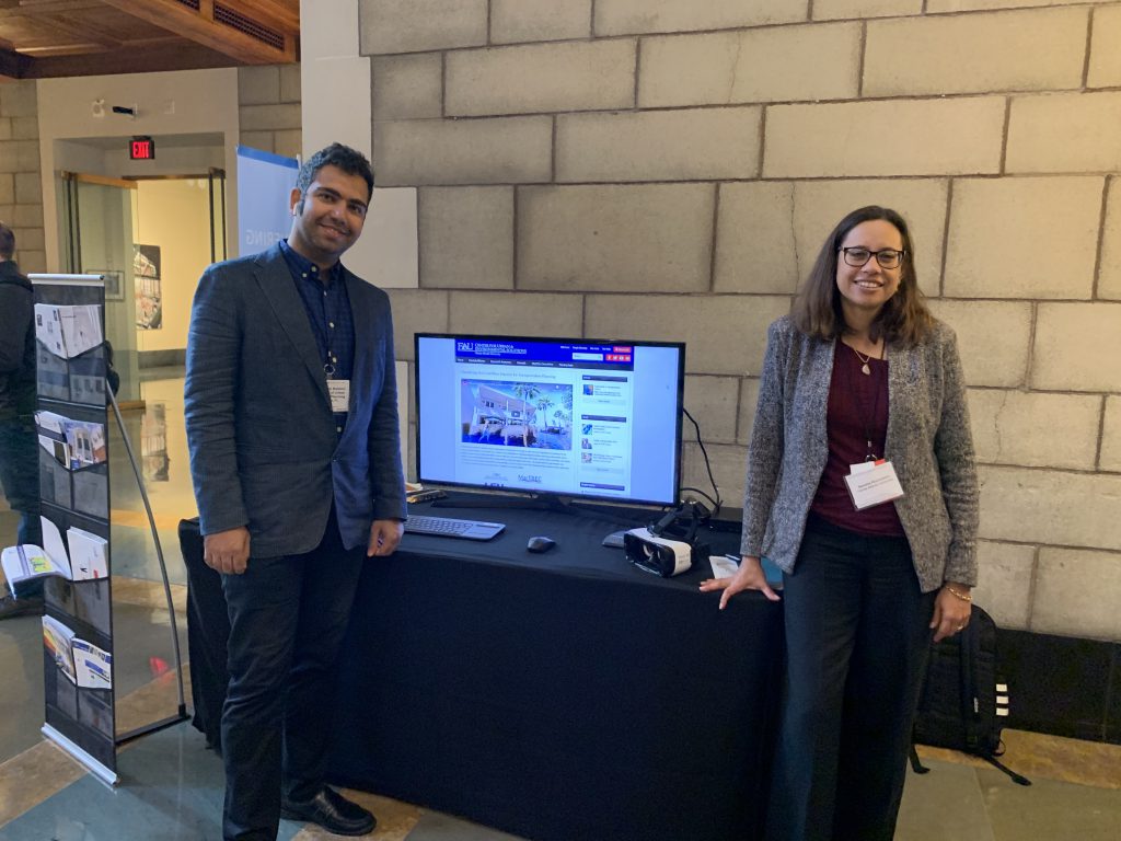
SURP Graduate Student Amir Koleini and Outreach Coordinator Serena Hoermann presented research by Professor John L. Renne, PhD, AICP at Transportation Research Board’s (TRB) 9th International Visualization in Transportation Symposium: Visualization in Action on November 5-6, 2019 in Washington, D.C.
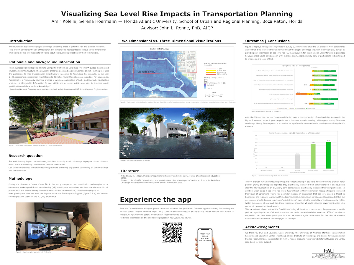
The poster highlights results from Dr. Renne’s research project Visualizing Sea Level Rise Impacts in Transportation Planning, which uses virtual reality to demonstrate climate impacts in a community setting.